Storm Gareth
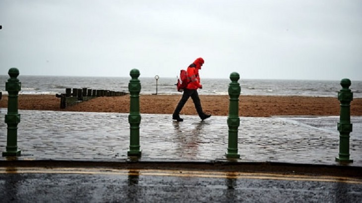
As Storm Gareth blows in from the Atlantic, the Met Office has issued three yellow ‘Be Aware’ warnings for today and tomorrow, covering much of England and Wales, Northern Ireland and parts of Scotland.
The first warns of strong north-westerly winds are expected to develop on Tuesday afternoon in Northern Ireland. These will begin spreading eastwards to south-west Scotland tonight, and much of England and Wales through Wednesday.
Forecasters are warning of gusts reaching 80mph along northern coasts and an enhanced risk of localised flooding in Cumbria.
The Met Office said: ‘Storm Gareth will bring strong winds across Northern Ireland through Tuesday afternoon into Wednesday, bringing the risk of damage to buildings, flying debris, large waves, power cuts and travel disruption.’
A yellow weather warning for rain is also in place for parts of northern England on Thursday and Friday.
Severe weather and high winds in particular, can heighten the risks of injury to colleagues working outdoors.
Walking in high winds:
- Look out for flying debris in open areas
- Beware of falling branches from overhead trees
- Avoid walking close to building sites and areas with excessive loose debris or scaffolding.
Driving in high winds:
- Drive slowly - high winds can get under a vehicle and affect its handling and braking significantly
- Be prepared when driving in exposed areas, especially high exposed bridges, as vehicles can be hit by sudden gusts
- Be careful when overtaking high-sided vehicles - driving past large vehicles can result in a sudden gust from the side as you clear
- Give cyclists, motorcyclists, lorries and buses more room as they are more affected by side winds
- Beware of debris on the road.